Archives
 Mijn Studiezaal (inloggen)
Image database
Browse our collections and image library, including photos, prints, illustrations, topographical maps, postcards, posters, films and audio clips. Many of these are freely available to download.
Not found what you are looking for? Not every record is digitized. If you need assistance in accessing the collections, please contact us via our contact form or phone number.
1.628 hits
order by:
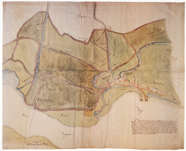
XXX-2
Kaart van het gebied ten westen en ten noorden van Rotterdam, waarin de stad gedeeltelijk in vogelvlucht wordt weergegeven. Links van het midden ligt het ambacht Schoonderloo, links daarvan en langs de noordrand het ambacht Beukelsdijk (voluit genaamd `Beukelsdijk, Blommersdijk en Cool').
Info
Click on the image for more information
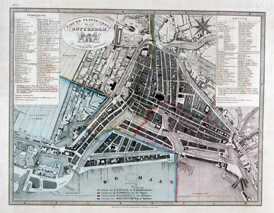
RI-82-c-1
Plattegrond van Rotterdam. Het weergegeven wordt begrensd door het Park, de Diergaarde, de Rotterdamse Schie
Info
Click on the image for more information
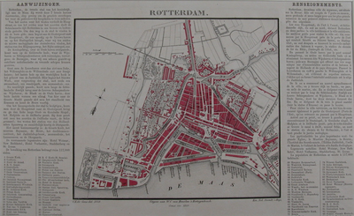
RI-69
Plattegrond van Rotterdam met daarop ingetekend de parochiale indeling
Info
Click on the image for more information
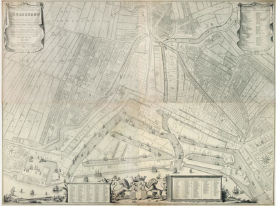
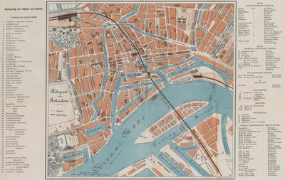
RI-50
Plattegrond van Rotterdam
Info
Click on the image for more information
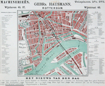
KT-3129
Plattegrond van Rotterdam.
Info
Click on the image for more information

I-85
Plattegrond van Rotterdam. Inzet: Feijenoord met plan van bebouwing van het Noordereiland.
Info
Click on the image for more information
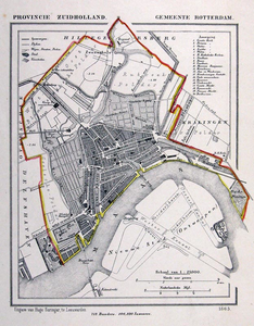
I-67
Kaart van de gemeente Rotterdam.
Info
Click on the image for more information
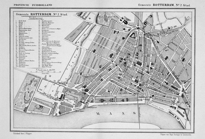
I-66-1
Plattegrond van het stadsgebied van Rotterdam.
Info
Click on the image for more information
I-58-2
Plattegrond van Rotterdam
Info
Click on the image for more information
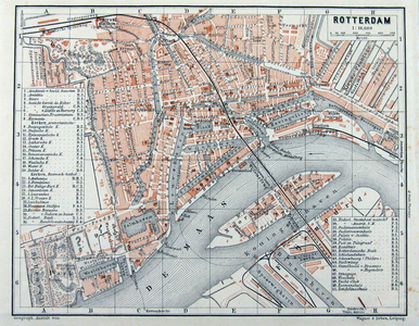
I-58-1
Plattegrond van Rotterdam
Info
Click on the image for more information
I-119
Plattegrond van Rotterdam
Info
Click on the image for more information
I-113
Plattegrond van Rotterdam
Info
Click on the image for more information